About Southend
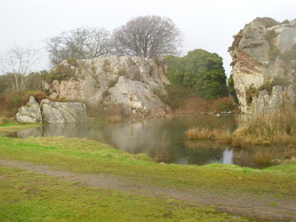
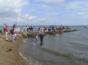
The Rocks
There is much history associated with the Southend of Wexford. Human occupation of Wexford can be traced back to 5000BC. Today the Southend is part of the parish of St Michael's. It takes its name from the patron saint of the Norse men who lived in this area and is one of the oldest parishes in Wexford town.
The history of the area is best told through its streets and amenities.
Beginning at the Talbot Hotel, the reception area of which was a school in 1858, on Trinity Street there was a dockland founded by John Redmond which once employed ninety men.
The handball alley in Emmet Place which was opened in 1957 with accommodation for 300 supporters has provided many all Ireland winners. We have a row of houses called Fishers Row, the name echoing the seafarers and fishermen that live in our area.
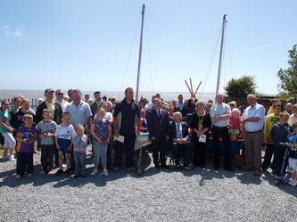
A short walk seaward along Batt Street takes you to the “Cot Safe”. Up to the present day the people of this area have rowing and fishing boats in the artificially reclaimed harbour.
Up from Batt Street is Maudlintown named after the parish of St Mary Magdalene, to whom a church and leper hospital were dedicated in 1176. A holy well was covered over on the construction of the large housing estate here in 1935. Within Maudlintown are various avenues, recalling the seafaring part of Wexford. Hantoon Rd and Antelope Rd recall ships built in and sailed from Wexford.
As we enter the Faythe the fist junction on the left is a lane leading to “The Rocks”. In these beautiful open fields a large rock outcrop called Trespan was the base for Cromwell’s guns as they battered the castle of Wexford in 1649.
In 1540 the area now known as the Faythe was called “Ffayghtt Street”. The name is traced to “faiche” meaning a green or fair green in Irish. A fair was held here on the 24th August each year. In 1700 it was referred to as a poor area with no schools. Most of the people living in the area at the time were employed in weaving fishing nets and spinning hemp. In 1798 a group of men from the Faythe joined up with Fr John Murphy as the rebels advanced towards Carlow. The GAA club Faythe Harriers originate from the Southend.
Bernadette Place housing estate was built in 1957. Beside here the 40 houses of Rockview were recently built by Clúid Voluntary Housing Association. Opposite is the local St John of God Primary School.
Barrack Street is named after the large Military barracks which is built on the sites oldest stronghold of the Norse and later Norman castle. The Nunn family operated vast malting stores in this part of Wexford. Guinness was their main customer. Agricultural machinery manufactured by the Pierces Foundry at Mill road is world renowned. Sadly this company no longer exists.
